For sale Farmland, Sremski Karlovci, Fruska Gora, Serbia, Vrhovi
For sale - Cod. 33610
- Tipology: Farmland
- Area: 100000 m²
- Rooms No.: /
- Floor: /
Sremski Karlovci is an urban settlement in Vojvodina, in Serbia in the Municipality of Sremski Karlovci in South Bačka District, but it belongs to the geographic region Srem, the name of which stands in the name of the settlement. Sremski Karlovci is located on the right bank of the river Danube, 12 km from Novi Sad and 9 km from Petrovaradin on the old road to Belgrade. According to the 2011 census, the town has 8,750 inhabitants.
Sremski Karlovci is the only settlement in the Municipality of Sremski Karlovci. The railway line passes through this town, and there are two railway stations Railway Station Sremski Karlovci and Railway Station Karlovački Vinogradi.
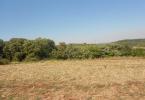
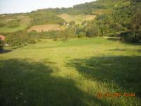
The subject real estate – cadastral plots 7129,7130,7160,7161,7163,7166,7167,7168,7170,7171 are located in one “block”, except for cadastral plot 7169, which is located straight across the road leading to other cadastral plots.
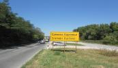
The cadastral plots may be reached via Inđija – Sremski Karlovci – Novi Sad road, with a turning to the left, towards Remeta and Irig, while the road to the right leads to Čortanovci. The road is asphalted, and after 2 to 3 kilometres of asphalt road, there is a turning to the right on a dirt road, which approximately 500 m further leads to the group of cadastral plots. The relevant plots are located in the middle of the area called Dobrilovac. The local name is “Vrhovi”.
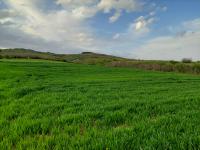
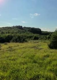
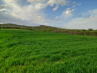
Most of the land is I class land, and is suitable for the cultivation of grain, fruit and vegetables.
Page views divided according to country of origin
Change date interval

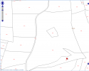
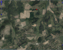
 Map and property price trends for Sremski Karlovci
 REALIGRO FREE ADVERT
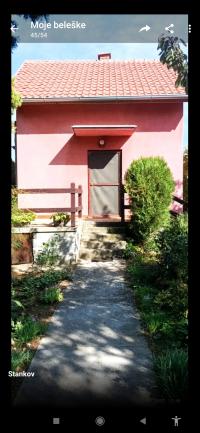 84,208.00USD
 65,261.20USD
 63,156.00USD
 65,261.20USD
 26,315.00USD
 131,575.00USD
 43,156.60USD
 47,367.00USD
 62,103.40USD